
Safety Technologies at Hajj: Drones and Geolocation
In the heart of the holy sites, the Civil Defense Command and Control Center is driving real-time situational awareness and rapid response through an advanced suite of tech-driven systems.
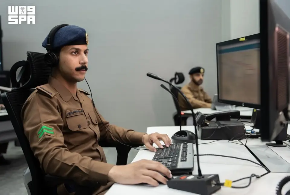
The Civil Defense Command Center of Saudi Arabia has implemented advanced monitoring systems using drones and geospatial analysis to ensure the safety of pilgrims during Hajj 2026.
How the Real-Time Monitoring System Works
The Civil Defense Command Center has deployed a comprehensive network of technological solutions that provide continuous oversight of field operations at the holy sites. The system uses a performance metrics matrix, geospatial mapping, and risk analysis based on data from drones. This allows the command to receive accurate information about the situation as it develops and make decisions in minutes instead of hours. The integration of data from various sources—from ground patrols to aerial surveillance—creates a unified security picture that is constantly updated and analyzed by the center's specialists.
The Role of Drones in Managing Pilgrim Flows
Unmanned aerial vehicles have become a key tool for monitoring crowds and identifying potential risks at early stages. Drones provide high-resolution aerial photography that helps map crowd movements, identify bottlenecks, and prevent dangerous situations. With the ability to quickly change position and transmit video data to the command center, drones provide the command with up-to-date information on where to redirect pilgrim flows or increase the presence of security services. This technology is especially critical at holy sites where crowds can be unpredictable.
Geospatial Technologies and Digital Solutions
Geospatial mapping is not just about creating maps. It involves analyzing data on terrain, distances, and accessibility combined with information on population density, locations of medical points, and evacuation routes. The system allows the command to instantly deploy resources where they are needed most. Digital solutions integrate information from regional commanders, field teams, and all involved security services into a single platform. This accelerates decision-making and ensures a coordinated response to any emergencies, from medical events to crowd management.
National Competence and Innovations
As emphasized by Civil Defense representative Colonel Mohammed Al-Hammadi, the system operates thanks to a combination of advanced technologies and the high qualifications of national specialists. Saudi experts are trained to work with these complex systems and make informed decisions under high pressure. This approach reflects the Kingdom's commitment to maximizing safety and efficiency at holy sites, as well as its readiness to invest in developing national capabilities in crisis management and technology.
Frequently Asked Questions
What specific technologies are used for monitoring Hajj?
The system includes drones for aerial photography, geospatial mapping for terrain and crowd movement analysis, and an integrated management platform that combines data from all security services and allows for real-time decision-making.
How do drones help prevent emergencies?
Drones provide continuous aerial surveillance, identify crowd gatherings and potential bottlenecks, allowing the command to redirect flows and deploy resources before a dangerous situation arises.
Why is coordination between different security services important?
A unified management system allows all services to work in harmony, exchange information promptly, and deploy resources more effectively, which is critical for the safety of millions of pilgrims at holy sites.